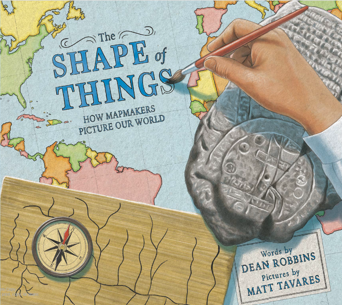
Illustrated by Matt Tavares (Knopf, August 20, 2024)
Over thousands of years, people from different cultures have combined art and science to create their own unique maps. From dots on a cave wall to the latest digital technology, we chisel, paint, draw, and code to make sense of the world around us—the world we all share.
HONORS
Best STEM Books 2025, Children’s Book Council
PRESS
Madison Magazine: Summer 2024 Picks
Interview in Book Q&A’s with Deborah Kalb
PURCHASE
REVIEWS
Map lovers and readers interested in the development of knowledge and technology will be drawn to Robbins’ look at how we, over millennia, have documented Earth’s shape. A prehistoric family looks down on a valley, wondering where the rivers go, the trails lead, and the woods end. They draw protomaps on cave walls or in the sand. Much later, Robbins notes, mapmakers moved from depicting locales to wondering about the whole world, and readers will enjoy the speculation, rendered in soft, computer-generated blue, green, and sepia-toned images of the maybes: a rectangular world, a cylinder, a flat disk with monsters around the edges. More recognizable tools make their way into cartographers’ arsenals, until Victorians, and then today’s surveyors, are shown, each looking over the same valley once contemplated by the prehistoric family. For classrooms, a child’s atlas will be a great accompaniment to this; it can also be used in makerspaces where mapmaking is offered. Closing notes on the instruments used in mapmaking and related subject areas are helpful. A worthwhile additional purchase.
— Booklist
This gorgeous, informative book explains in as clear a way as I’ve ever seen what a map is, why they are important, and how the way they are made has changed over millennia. A fabulous book about the value of knowing where you are and the power of maps and mapmaking.
— Geo Librarian
“The Shape of Things” emphasizes the ways in which people of early societies sought to understand the world before Europeans circumnavigated the globe and answered forever the question of its dimensions. Tantalizing mention of instruments such as the theodolite (a surveyor’s tool for checking angles) and the Gunter’s chain (a device that measures distances) will perhaps encourage some 4- to 8-year-olds to pursue the subject in greater depth.
— Wall Street Journal
Detailed, documentary-style illustrations by Tavares…eloquent prose by Robbins.
— Publishers Weekly
This book is perfect for introducing maps, whether doing a mapmaking or a map reading unit. It is also just an interesting book that teaches the history of something many of us use every day. It helps explain the reason we need maps and how that need has been there for every culture all over time. It is perfect for a classroom or to read at home. It is a wonderful way to bring a little nonfiction into your child’s life.
— Crafty Moms Share
The informational yet lyrical text by Dean Robbins, mixed with Matt Tavares’s beautiful art, brings this massive idea to a level that any reader can connect with, understand, and be interested in. “The Shape of Things,” in addition to being entertaining, is a summary of cartography through world history, which makes it perfect for social studies as a look at human history, exploration, and technology over time. The backmatter includes even more information.
— Unleashing Readers
You can’t see Matt Tavares’s cover without wanting to know more, and it sets the stage for a fantastic history of mapmaking. Author Dean Robbins starts at the beginning, when early humans used cave art and tusks to map the way. Robbins takes readers to the Americas, Egypt, Babylonia, Greece, China and Polynesia. He highlights what mapmakers got right — and what they sometimes got wrong. And Robbins does this in relatively few words — words that are wonderfully paced and nice to read aloud. Excellent backmatter includes a timeline; author’s note; illustrator’s note; information on mapmaking tricks and tools; a list of what mapmakers love; and a bibliography.
— Cracking the Cover
In a story that spans prehistory to today, Dean Robbins traces mapmaking from a variety of perspectives: cave paintings, rock carvings by Native Americans, Egyptian drawings on papyrus, ancient Babylonian tablets, Chinese maps on wood, and Polynesian maps of shells and sticks. This is a useful introduction to a topic that uses both science and art. Its nod to the contributions from many cultures, as well as its acknowledgment of women cartographers, makes this a nice addition to a first- or second-grade classroom library.
— The Arts Fuse
A great introduction to historical cartography without getting technical or lost in the details. It’s a great springboard for discussion and a good read for those interested in history, science, or how the world works around them.
— YA Books Central
A perfect book to use when talking about social sciences standards that include maps and communities.
— Reading Through the Ages
